

GPS Route Tracker - Find Near By Places app for iPhone and iPad
Developer: Panacea Infotech Private Limited
First release : 13 May 2014
App size: 16.98 Mb
GPS Route Tracker allows you to track your location using GPS. It will keep recording and maintain a history of your routes including time and distance travelled in KM, Miles & Meters.
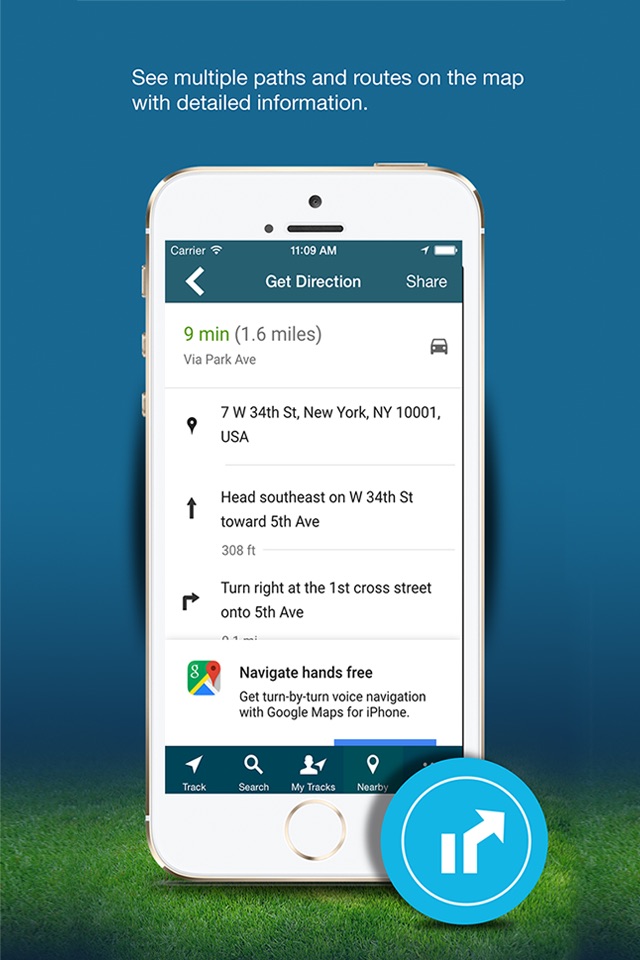
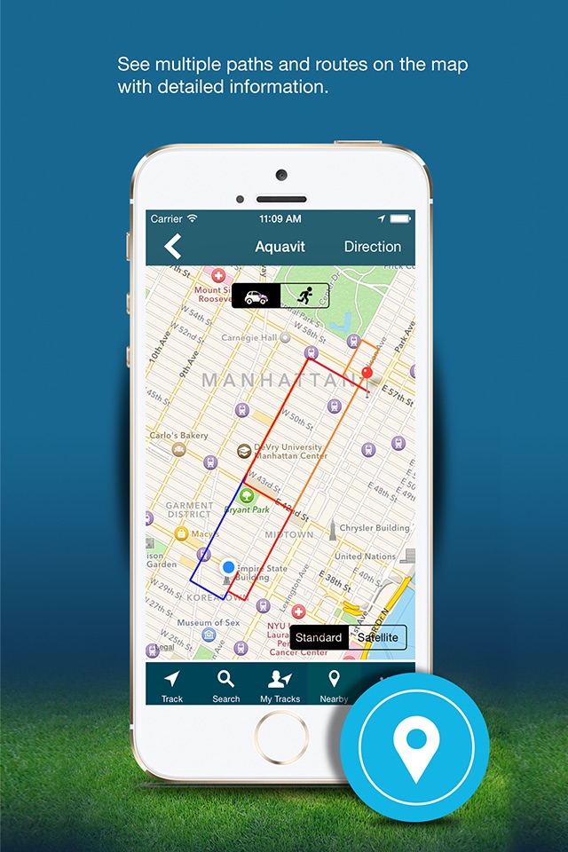
You can find the distance between two places on the map and also get the Route Direction in detail with the option of “walk” or “driving a car”. It will also help in showing multiple paths/routes on the map with detailed information like amount of distance travelled, and estimated time for the same.
You can find nearby Restaurants, ATM, Airport, Bank, Bar, Beauty Salon, Bus Station, Café, Casino, Church, Doctor, Electrician, Food, Gym, Hospital, Library, Movie Theaters, Park, Police Station, Post Office, School, and Shopping Mall etc. You can find all the above displayed in the map with pinpoints where the complete address and directions from current location can be viewed.
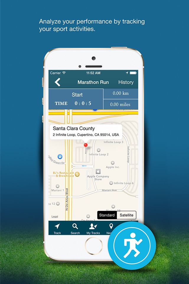
The App is useful for Marathon Runners to keep track of location, distance travelled, average speed and time taken.
Features:-
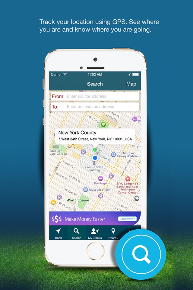
-Track your location using GPS. See where you are and now where your are going.
-Tracking details of past routes which include start time, end time, duration and distance can be recorded.
-Share your direction via Facebook, Twitter, Email, Whatsapp and Facebook messenger.
-Choose Map type Standard and Satellite.
-Find a distance between two places and also get direction from source to destination with detailed information.
-Uses GPS to map your running, walking and cycling routes.
- Find near by places and find multiple routes for destination.
- Get full direction details from source to Destination.